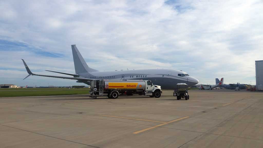
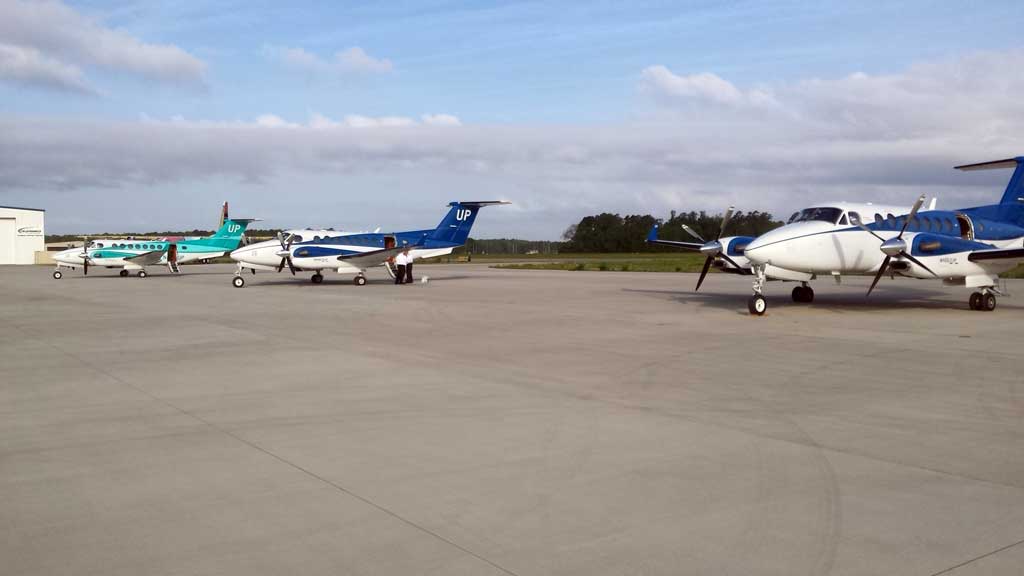
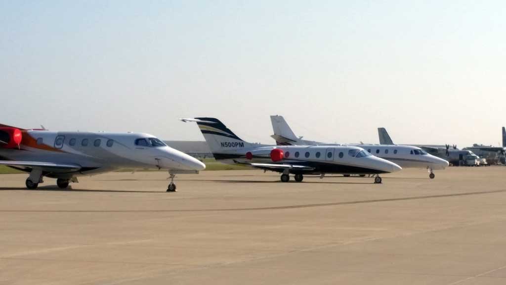
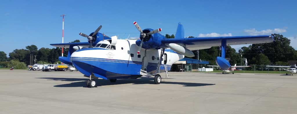
You can also visit our AirNav page at: http://www.airnav.com/airport/KECG
Location
| FAA Identifier: | ECG |
| Lat/Long: | 36-15-38.0900N / 076-10-28.4600W 36-15.634833N / 076-10.474333W 36.2605806 / -76.1745722 (estimated) |
| Elevation: | 12 ft. / 3.7 m (surveyed) |
| Variation: | 07W (1975) |
| From City: | 3 miles SE of Elizabeth City, NC |
| Time Zone: | UTC -5 (UTC -4 during Daylight Saving Time) |
| Zip Code: | 27909 |
Airport Operations
| Airport Use: | Open to the Public |
| Control Tower: | Yes |
| ARTCC: | Washington Center |
| FSS: | Raleigh Flight Service Station |
| NOTAMs Facility: | ECG (NOTAM-D service available) |
| Attendance: | Mon - Fri, 0800 - 2200, All Sat - Sun 0800 - 1700 Terminal is Closed Thanksgiving Christmas & New Years Day For Attendant After Hours & Holidays Call (252) 335-5634 or Contact Number Posted on Terminal Door Coast Guard Ramp Attended 24 Hours, Contact (252) 335-6333 |
| Pattern Altitude: | 1012 ft. MSL R/W 1,000; F/W 1,500 |
| Wind Indicator: | Lighted |
| Segmented Circle: | No |
| Lights: | Dusk - Dawn ACTVT HIRL RY 10/28 & MIRL RY 01/19 - CTAF. WHEN ATCT CLSD CNTRLN LGTS & VASI RYS 10 & 28 OPER CONT. |
| Beacon: | White-Green (Lighted Land Airport) |
Airport Communications
| CTAF: | 120.5 |
| UNICOM: | 122.95 |
| WX ASOS: | 124.375 - (252) 338-4750 |
| Elizabeth City Ground: | 121.9 [1300-0200Z++.] |
| Elizabeth City Tower: | 120.5 355.6 [1300-0200Z++.] |
| Norfolk Approach: | 119.55 |
| Norfolk Departure: | 119.55 |
| CG OPNS (Elizabeth City Air): | 381.8 |
| Emergency: | 121.5 243.0 |
| WX AWOS-3 at ONX (11 nm NE): | 119.775 - (252) 453-8939 |
24 hour search and rescue aircraft operations may require ATCT to be staffed 2200 - 0700; transmit intentions in the blind on 120.5.
Runway Information
| Runway 10/28 | ||||||||||||||||||||||||||||||||||||||||
|---|---|---|---|---|---|---|---|---|---|---|---|---|---|---|---|---|---|---|---|---|---|---|---|---|---|---|---|---|---|---|---|---|---|---|---|---|---|---|---|---|
| Dimensions: | 7219 x 150 ft. / 2200 x 46 m | |||||||||||||||||||||||||||||||||||||||
| Surface: | Asphalt/Concrete, in Good Condition | |||||||||||||||||||||||||||||||||||||||
| Weight Bearing Capacity: | Single Wheel: 100.0 Double Wheel: 200.0 Double Tandem: Twin-Tandem Weight Bearing Capacity 400,000 lbs |
|||||||||||||||||||||||||||||||||||||||
| Runway Edge Lights: | High Intensity | |||||||||||||||||||||||||||||||||||||||
|
||||||||||||||||||||||||||||||||||||||||
| Runway 1/19 | |||||||||||||||||||||||||||||||||||||
|---|---|---|---|---|---|---|---|---|---|---|---|---|---|---|---|---|---|---|---|---|---|---|---|---|---|---|---|---|---|---|---|---|---|---|---|---|---|
| Dimensions: | 4518 x 150 ft. / 1377 x 46 m | ||||||||||||||||||||||||||||||||||||
| Surface: | Asphalt/Concrete, in Poor Condition Loose Gravel, Pavement Cracks, Vegetation |
||||||||||||||||||||||||||||||||||||
| Weight Bearing Capacity: | Single wheel: 20.0 | ||||||||||||||||||||||||||||||||||||
| Runway Edge Lights: | Medium Intensity | ||||||||||||||||||||||||||||||||||||
| Runway Edge Markings: | Markings Faded & Covered with Vegetation | ||||||||||||||||||||||||||||||||||||
|
|||||||||||||||||||||||||||||||||||||

